State Forest State Park
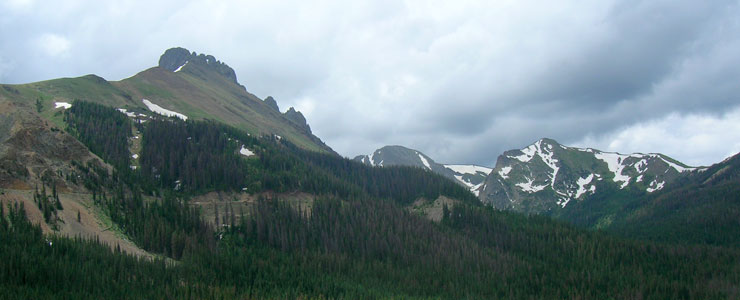
Nokhu Crags on the left, State Forest State Park
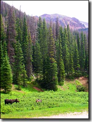
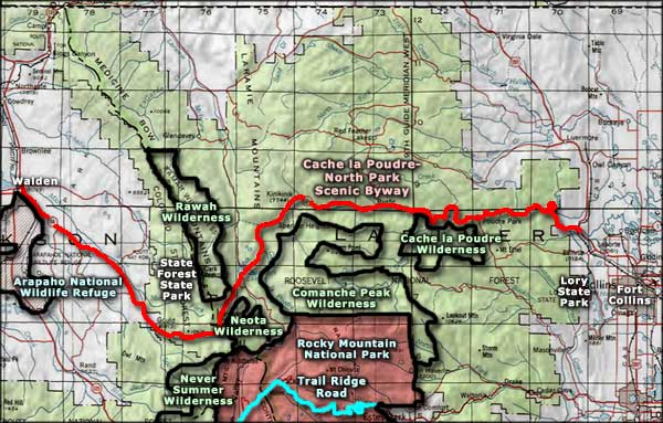
State Forest State Park contains 71,000 acres of rugged mountainous countryside that runs along the western side of the Medicine Bow Mountains and south into the Never Summer Range. To the north and south is Routt National Forest, to the east is Arapaho-Roosevelt National Forest and the Rawah Wilderness, to the west is North Park. If you want to see moose in Colorado, this is the place to go. While you're here there's enough camping, hiking, horseback riding, four-wheeling, fishing, hunting, wildlife viewing, bird watching, skiing, snowshoeing, telemarking, snowboarding and snowmobiling to last a couple lifetimes. Most folks stop first at the Moose Visitor Center to get their bearings and check out the maps, books and interpretive displays. This is also where you can rent most of the cabins and yurts that are scattered through the State Park.
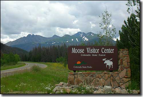
Moose Visitor Center, State Forest State Park
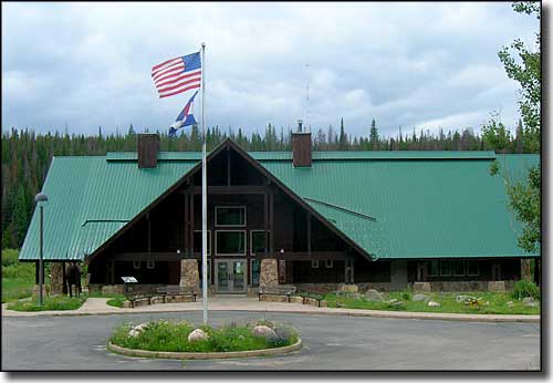
Moose Visitor Center
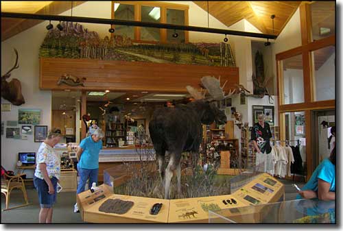
Inside the visitor center
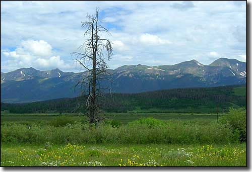
The Medicine Bow Mountains, northern part of State Forest State Park
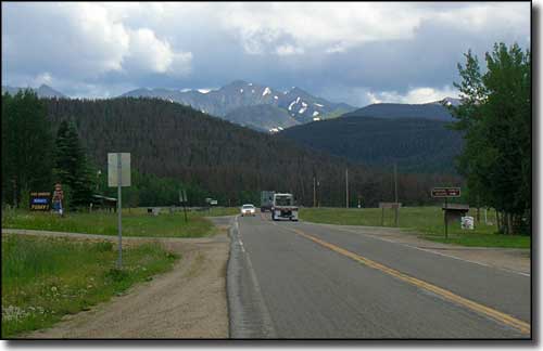
Looking east near Gould, just outside State Forest State Park
Related Pages
Map courtesy of National Geographic Topo!