NOAA Sites
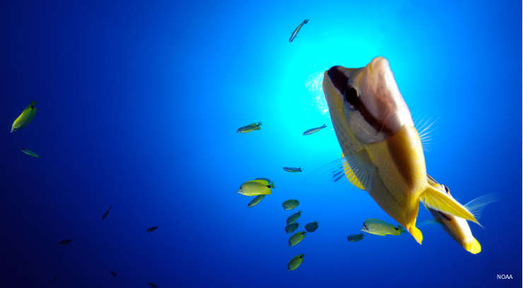
Underwater at Papahanaumokuakea Marine National Monument
The National Oceanic and Atmospheric Administration is charged with overseeing activities in the 14 marine protected areas of the National Marine Sanctuary System: 13 marine sanctuaries and 1 national monument.
In all, there are more than 170,000 square miles of submerged lands included in the system, stretching from the Florida Keys to the Olympic Peninsula and from Lake Superior to American Samoa.
National Marine Sanctuaries
- Channel Islands National Marine Sanctuary
- Cordell Bank National Marine Sanctuary
- Florida Keys National Marine Sanctuary
- Flower Garden Banks National Marine Sanctuary
- Gray's Reef National Marine Sanctuary
- Greater Farallones National Marine Sanctuary
- Hawaiian Islands Humpback Whale National Marine Sanctuary
- Monitor National Marine Sanctuary
- Monterey Bay National Marine Sanctuary
- National Marine Sanctuary of American Samoa
- Olympic Coast National Marine Sanctuary
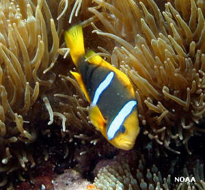
- Papahanaumokuakea National Marine Monument
- Stellwagen Bank National Marine Sanctuary
- Thunder Bay National Marine Sanctuary
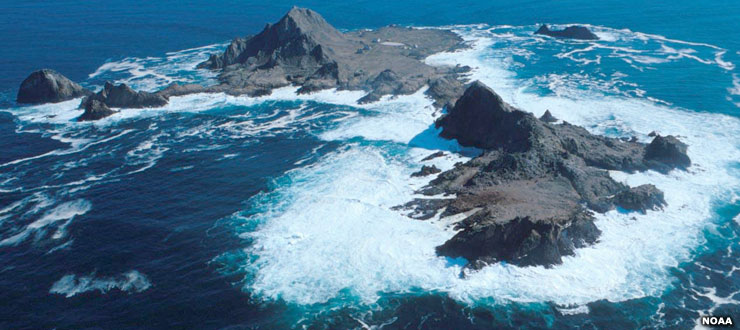
South Farallon Island in the Greater Farallon Islands Marine National Monument
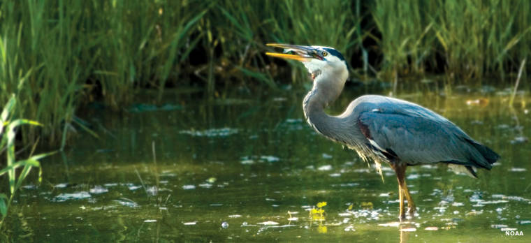
National Estuarine Research Reserves
- Apalachicola
- ACE (Ashepoo, Combahee, Edisto)
- Chesapeake Bay (Maryland)
- Chesapeake Bay (Virginia)
- Delaware
- Elkhorn Slough
- Grand Bay
- Great Bay
- Guana Tolomato Matanzas
- Hudson River
- Jacques Cousteau
- Jobos Bay
- Kachemak Bay
- Lake Superior
- Mission-Aransas
- Narragansett Bay
- North Carolina
- North Inlet-Winyah Bay
- Old Woman Creek
- Padilla Bay
- Rookery Bay
- San Francisco Bay
- Sapelo Island
- South Slough
- Tijuana River
- Waquoit Bay
- Weeks Bay
- Wells

Locations of the National Estuarine Research Reserves
Photos and maps courtesy of NOAA