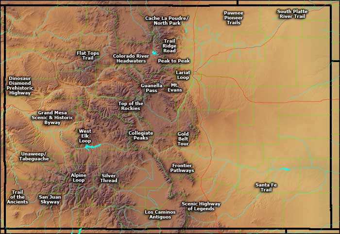
Scenic, Historic and Backcountry Byways in Colorado
I've driven 20 of the designated Scenic Byways in Colorado. Most of those routes are in the mountains but a few are on the eastern plains and Lariat Loop is essentially within the bounds of the Denver Metroplex.
There are several other roads around the state I would include in the lists below but they haven't been officially designated.
Scenic, Historic and Backcountry Byways in Colorado
Alpine Loop
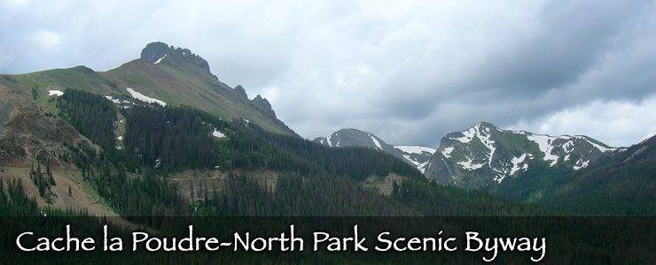
Cache la Poudre-North Park Scenic Byway
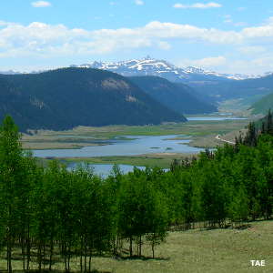
Collegiate Peaks Scenic Byway
Colorado River Headwaters Scenic Byway
Dinosaur Diamond Prehistoric Highway
Flat Tops Trail Scenic Byway
Frontier Pathways Scenic & Historic Byway
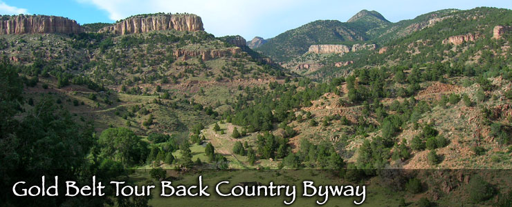
Gold Belt Tour Backcountry Byway
Cache la Poudre-North Park Scenic Byway
Collegiate Peaks Scenic Byway
Colorado River Headwaters Scenic Byway
Dinosaur Diamond Prehistoric Highway
Flat Tops Trail Scenic Byway
Frontier Pathways Scenic & Historic Byway
Gold Belt Tour Backcountry Byway
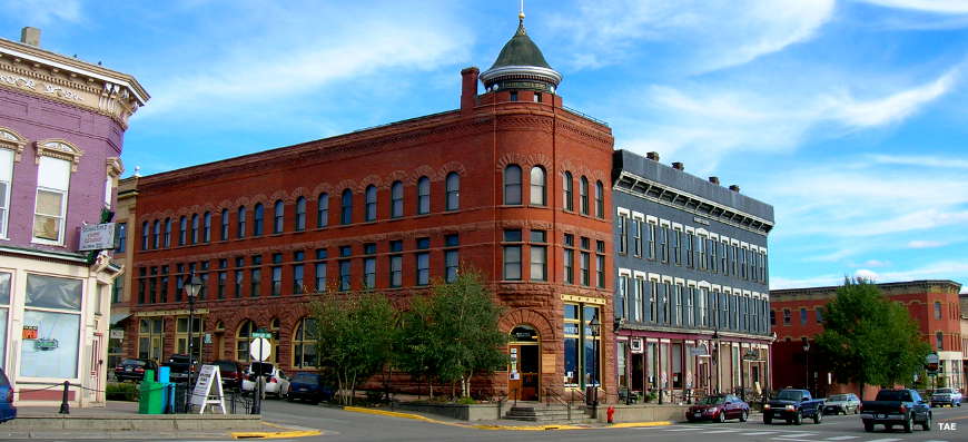
In Leadville, along Top of the Rockies National Scenic Byway
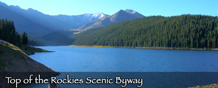
Photos courtesy of TheArmchairExplorer, CCA-by-SA 4.0 License
Map courtesy of Cartesia MapArt Terrain