Arapaho-Roosevelt National Forest

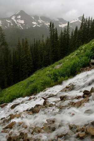
Indian Peaks Wilderness from the Peak to Peak Scenic Byway

The Arapaho-Roosevelt National Forest is located in north central Colorado. The forest encompasses 1.3 million acres and extends north to the Wyoming border, south of Interstate 70 to Mount Evans and west across the Continental Divide to the Williams Fork area.
The forest is headquartered in Fort Collins with district offices in Boulder, Fort Collins, Idaho Springs, and Granby. This national forest sees millions of visitors each year and is among the most popular national forests in America.
Theodore Roosevelt established the Arapaho National Forest on July 1, 1908. He named it after the Native American tribe that used to occupy the region for summer hunting.
The Roosevelt National Forest, originally part of the Medicine Bow Forest Reserve, was first named the Colorado National Forest in 1910. In 1932, President Herbert Hoover renamed the forest to honor President Theodore Roosevelt.
Historical events
- 1906 - The Colorado Division of Medicine Bow was established, with the supervisor based in Fort Collins
1927 - The road to Mount Evans, near Idaho Springs, completed
1937 - Berthoud Pass and Loveland Ski Areas opened
1940 - Winter Park Ski Area opened
1962 - Eldora Mountain Ski Area opened
1978 - Arapaho National Recreation Area designated
2000 - Bobcat Fire, largest fire on the Arapaho-Roosevelt National Forest
2001 - Roosevelt Hot Shots start on the Arapaho-Roosevelt National Forest as part of the National Fire Plan
Wilderness Areas

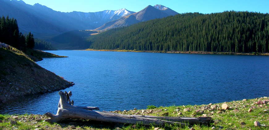
The Tenmile Range
US Forest Service
US Forest Service: Arapaho-Roosevelt National Forest
Upper left photo courtesy of Phil Armitage