Mesa, Colorado

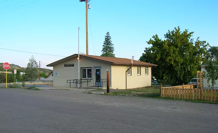
The Mesa Post Office
Mesa was officially settled in 1882, the year after the Utes were removed from most of Colorado and confined to reservations for the final time (meaning: this time the US Government hasn't changed its mind and taken away more of the land the tribe was originally given). Mesa is on the Grand Mesa Scenic Byway and, between the I-70 and Cedaredge, is the only place along the road where you might find some snacks. This part of the Grand Mesa is open, flat, farming and ranching country. Mesa is around 5,600' in elevation so the winters aren't too bad. Powderhorn Resort is just south of here (and a bit higher, too): they've had problems keeping snow on the slopes in some years.
The views around Mesa are pretty nice: you know you're well above the surrounding countryside when you look north or west. To the south is that wall that heads up to the top of Grand Mesa and 10,000' elevation. I came through on a Sunday morning in early September. Hardly anyone was moving and the town was very quiet: nothing open for business yet.

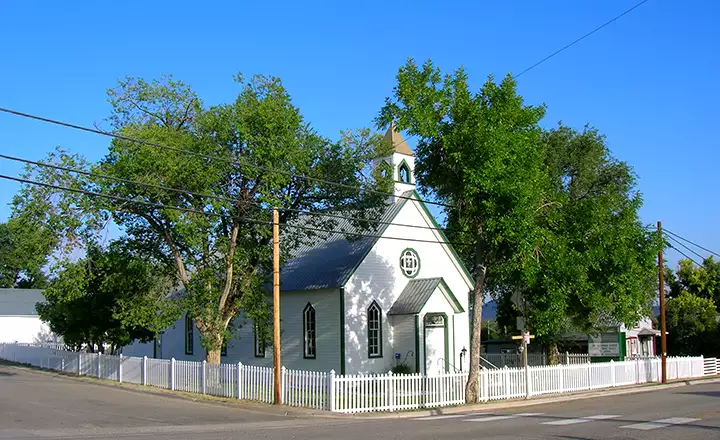
In the heart of Mesa
Fast Facts about Mesa, Colorado
Unincorporated
Elevation: 5,636'
Longitude: 108.1389°W
Mesa County Related Pages
Collbran - De Beque - FruitaGrand Junction - Mesa - Palisade - Mesa County
Grand Mesa National Forest - Grand Mesa Scenic Byway
Colorado National Monument - James M. Robb-Colorado River State Park
Highline State Park - Vega State Park