Flat Tops Wilderness

In Flat Tops Wilderness
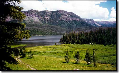
At 235,406 acres, the Flat Tops Wilderness is Colorado's second largest wilderness. Elevations in the Flat Tops Wilderness vary from about 7,600' to 12,994'. At the heart of Flat Tops Wilderness is Trappers Lake and behind Trappers Lake rise majestic volcanic cliffs, and beyond those cliffs a vast forested, subalpine terrain that eventually rises into alpine tundra (part of the White River Plateau) at an elevation above 10,000'. The access road to Trappers Lake is tunneled into the wilderness but it was a visit to Trappers Lake that put the bug into Arthur Carhart to begin the quest for wilderness designation in certain areas of America's National Forests. Eventually, he got the job done and Flat Tops Wilderness was one of the first designated wilderness areas in the United States.
Approximately 110 mostly-unnamed lakes and ponds dot the countryside, atop and beneath numerous flat-topped cliffs. The Flat Tops Wilderness contains about 100 miles of fishing streams. The gently rolling landscape above the cliffs offers more than 160 miles of relatively easy hiking trails. This is ideal country for horse and/or mule pack trips. As many as 20,000 elk also enjoy summer living in this area.
A skeletal forest of dead spruce and fir stretches across the higher slopes below the tundra, the legacy of a 1940's epidemic of bark beetles. In 2002, more than 17,000 acres burned around Trappers Lake and another 5,500+ acres burned in the vicinity of Lost Lakes in the East Fork of the Williams Fork drainage.
Fast Facts about Flat Tops Wilderness
- Size: 235,406 acres
- Designated: 1975
- Elevations: 7,600' to 12,994'
- Miles of Trails: 160
- Game Management Units: 12, 24, 25, 26, 33, 34
- Latitude: 39.948889°N Longitude: 107.266111°W

Trappers Lake
Photos courtesy of Byways.org
