Blanca, Colorado
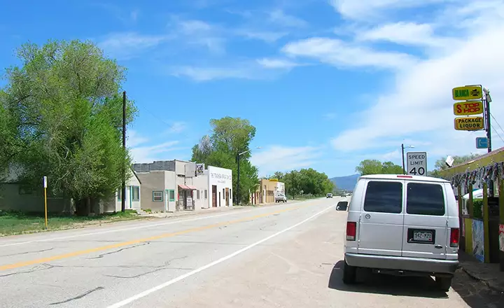
Main Street in Blanca is US Highway 160
Blanca was settled as a ranching and farming community at the southern foot of the Blanca Massif. For a while in the late 1800s and early 1900s, Blanca was also the site of an ore processing facility for the gold mines located in the Mt. Blanca area. It looks to have seen better days then, that's when the original schools were built. Most of the real estate in the area was originally part of the Sangre de Cristo Land Grant, a large chunk of which was bought by the Forbes group back in the 1960s. A lot of the property on the valley floor was developed into 5 acre and larger properties and sold off. Some of the property has been kept as active ranchland, some has been kept for hunting ranches and some is simply rock: above treeline and almost unusable (except for climbing). Mt. Lindsey is completely owned by Forbes but they allow access above treeline from the northwest side only: the Upper Huerfano Valley. The easiest access to Little Bear is through Blanca Basin, completely controlled by Forbes and essentially forbidden to access. Mt. Hamilton rises on the southern ridge of Mt. Blanca but access is allowed only from above treeline: essentially by crossing over Blanca Peak or by crossing Gash Ridge (on the Sierra Blanca) and climbing the ridge above the Winchell Lakes. That makes Mt. Hamilton one of the least climbed 13ers in Colorado.
Today Blanca is just a short whistle stop on the US 160 between Fort Garland and Alamosa. But watch your speed: the signs mean what they say.
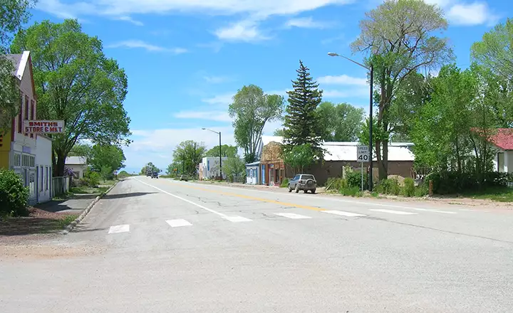
Looking west on Main Street
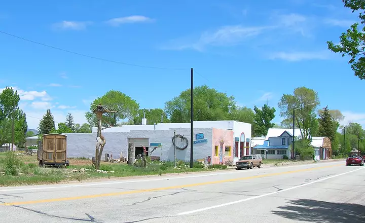
A wood sculpture business on Main Street in Blanca
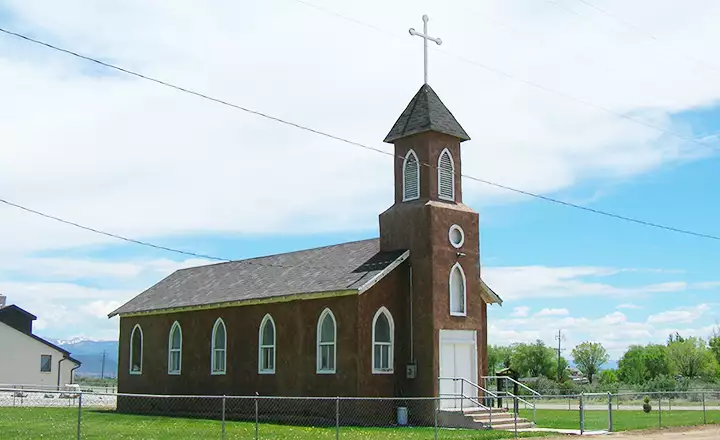
The Blanca Catholic Church
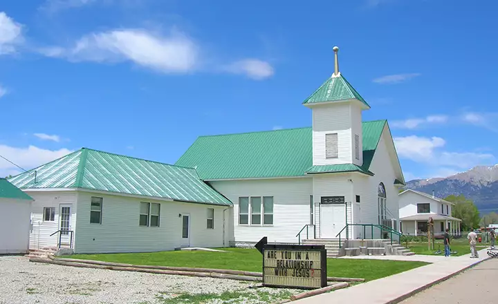
The Blanca Community Church
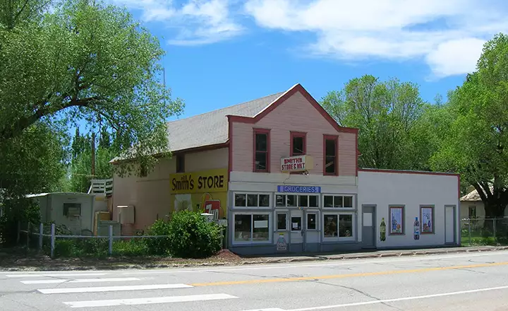
The old Smith's Grocery Store
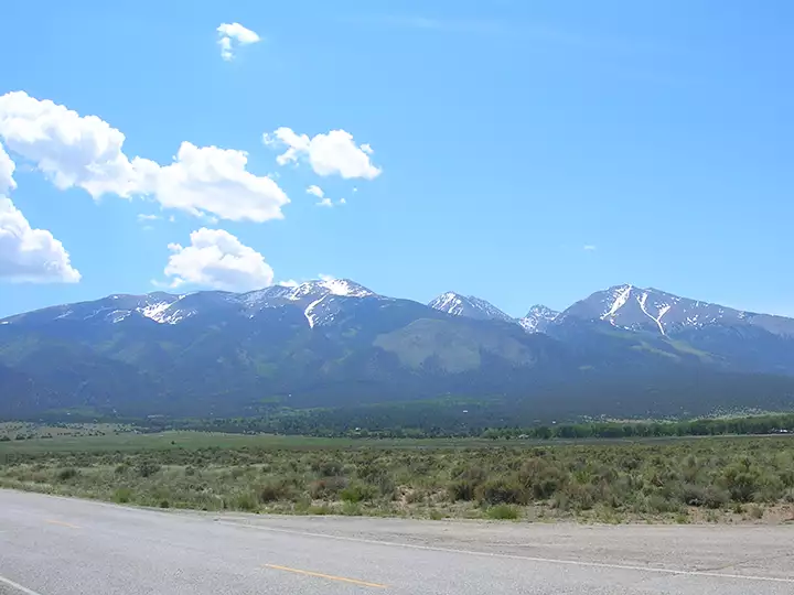
The Blanca Massif from town
Costilla County Related Pages
Blanca - Fort Garland - San LuisLos Caminos Antiguos Scenic Byway - Sangre de Cristo National Heritage Area