Slick Rock, Colorado
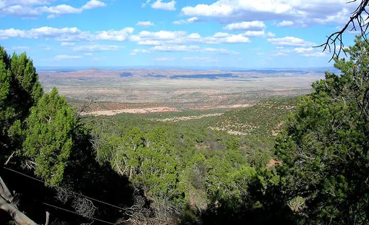
Looking down on Slick Rock from the south
I was heading north across the flatlands above Dove Creek when I came to the edge of the Dolores River Canyon. Surprise! The view was huge and full of colors. Going down to the bottom of the canyon took a while with a few switchbacks along the way. When I came to the river, there was a dirt road heading northwest while the pavement turned to the east. In front of me was an old (but habitable) structure left over from the mining days.
I stopped and took photos in several directions, then got back in the car and followed the pavement east. Every map I had with me told me that Slick Rock was at that intersection. When I got back home and started poring over my detailed topo maps, I discovered that the townsite of Slick Rock was actually just around the bend up that dirt road. And while my topo maps do indicate lots of old mine sites in the area, those that I actually did see along the highway are not on the topo maps. Frustrating. I'll have to go there again and check things out better.
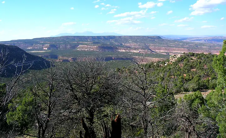
Getting closer to the valley, from the south
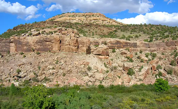
There's a mine steeple in the center of the photo
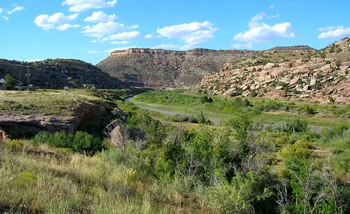
Looking northwest toward Slick Rock, along the Dolores River
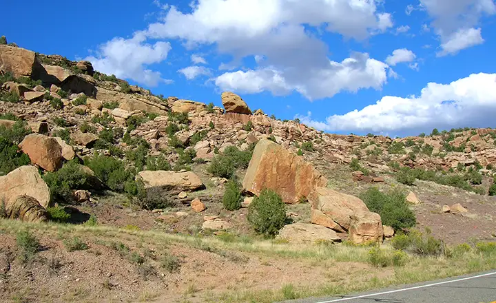
Talk about a rubble strewn countryside...
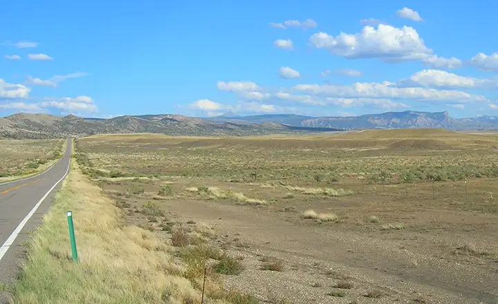
Just past Slick Rock, Lone Mesa can be seen (that point on the right)
Fast Facts about Slick Rock, Colorado
Unincorporated
Elevation: 5,545'
Longitude: -108.888333°W
San Miguel County Related Pages
Mountain Village - Norwood - Ophir - PlacervilleSawpit - Slick Rock - Telluride - San Miguel County
Uncompahgre National Forest - San Juan Skyway
Unaweep-Tabeguache Scenic Byway