North Cascades Scenic Byway

Traveling the North Cascades Scenic Byway

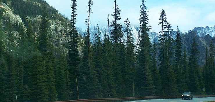
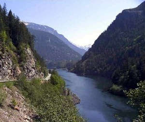
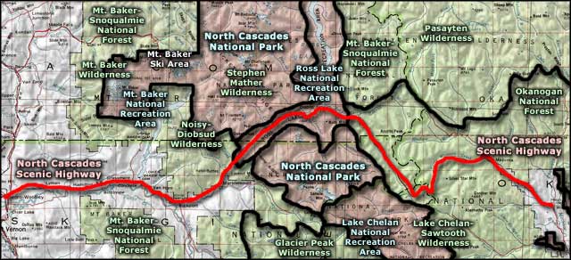
The North Cascades Scenic Byway is often called "The Most Beautiful Mountain Highway in the State of Washington." In its 140 miles, it travels eastward from the wet and rainy western slopes of the Cascades, up the valley of the Skagit River through the snow-capped high mountain peaks, over Rainy and Washington Passes and then drops slowly down into the remote high desert of the Methow Valley. The eastern terminus of North Cascades Scenic Byway is in Winthrop at the junction with the Okanogan Trails Scenic Byway. Along the way you'll pass through sections of the Mount Baker-Snoqualmie and Okanogan-Wenatchee National Forests, past several National Wilderness Areas and between the two sections of North Cascades National Park via the Ross Lake National Recreation Area corridor.
The first survey of what is now the North Cascades Scenic Byway began in 1895. Native Americans had forged several trails across the mountains and had been using them for at least 8,000 years before the Euro-Americans arrived. The original objective was to build a wagon road across the mountains to carry miners and freight to the Okanogan Valley where they could then travel north on the Cariboo Trail to the gold fields in British Columbia. When that couldn't be achieved before the gold fields played out, the focus shifted to bringing out the timber from high-dollar lumber sales... until President Lyndon Johnson signed the bill creating North Cascades National Park in 1968 and essentially ended that idea.
Sections of the road were constructed over the years but a fully-connected, cross-mountain route wasn't completed until 1972. And it took several failed attempts at different routes before the run across Rainy and Washington Passes was finally settled on and built. Even now, the section of road over both Rainy and Washington Passes is usually closed in the winter (from about Thanksgiving weekend to the third week in April) due to the amount of snow that falls (Rainy and Washington Passes are about four miles apart, between the eastern boundary of Ross Lake National Recreation Area and the town of Mazama).
The Pacific Crest National Scenic Trail crosses the North Cascades Scenic Byway just east of Rainy Pass and continues north along the boundary between the Mount Baker-Snoqualmie and Okanogan-Wenatchee National Forests across Pasayten Wilderness to end at the border with Canada.

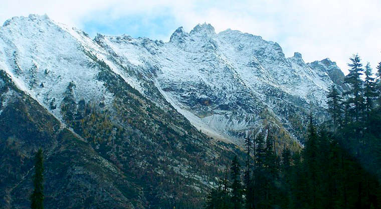
The North Cascade Mountains near Washington Pass

Liberty Bell Mountain, above Washington Pass
Other photos courtesy of Kelly A. Siebecke, CCA-by-SA 3.0 License
Area map courtesy of National Geographic Topo!
