Scenic, Historic and Backcountry Byways in Utah
In mid-May, 2013, I was on my way from Portland, OR to Trinidad, CO and thought I'd drive the Alpine Loop Scenic Byway along the way. So I drove across Suburbia in the early afternoon to the foot of the Wasatch, only to discover the road barricaded: mid-May and the road was still officially closed by snow...
So I continued my journey south across more of Suburbia until I reached the Provo Canyon Scenic Byway and took that route across the mountains. Haven't been back in that area since. There are a few byways in the list below that I haven't driven yet either.
Scenic, Historic and Backcountry Byways
- Alpine Loop Scenic Byway
- Bear Lake Scenic Drive
- Beaver Canyon Scenic Drive (U-153)
- Bicentennial Highway
- Big Cottonwood Canyon Scenic Drive
- Brian Head Scenic Drive (U-143)
- Bull Creek Pass Backcountry Byway
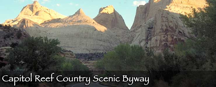
- Capitol Reef Country Scenic Drive
- Cedar Breaks Scenic Drive (U-148)
- Dead Horse Point Scenic Drive
- Dinosaur Diamond Prehistoric Highway
- Fish Lake Scenic Drive (U-25)
- Flaming Gorge Scenic Drive
- Huntington Canyon Scenic Drive
- Indian Canyon Scenic Drive
- Indian Creek Corridor Scenic Byway
- Kolob Fingers Scenic Road
- Kolob Reservoir Scenic Road
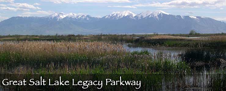
- Legacy Parkway
- Little Cottonwood Canyon Scenic Drive
- Logan Canyon Scenic Drive
- Markagunt High Plateau Scenic Byway (U-14)
- Mirror Lake Scenic Byway
- Monument Valley to Bluff Scenic Byway
- Mt. Carmel Scenic Drive
- Nebo Loop Scenic Byway
- Ninemile Canyon Backway
- Ogden River Scenic Drive
- Pony Express Trail Backcountry Byway
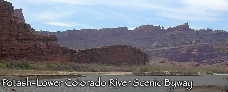
- Potash-Lower Colorado River Scenic Drive (U-279)
- Provo Canyon Scenic Drive
- Scenic Highway 12
- Silver Island Mountains Backcountry Byway
- Smithsonian Butte Backcountry Byway
- Trail of the Ancients
- Transcontinental Railroad Backcountry Byway
- Upper Colorado River Scenic Drive (U-128)
- Zion Canyon Scenic Drive
- Zion Park Scenic Drive (U-9)

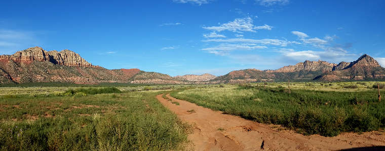
Looking toward Canaan Mountain Wilderness from the Smithsonian Butte Backcountry Byway
Click on the image for a larger version
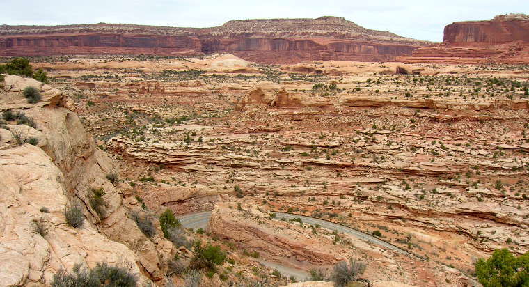
Along the Dead Horse Point Scenic Drive
Slideshow photos are a mix of US Forest Service, BLM, Byways.org and TheArmchairExplorer photos
Lower photos courtesy of TheArmchairExplorer, CCA-by-SA 4.0 License
Map courtesy of Cartesia MapArt US Terrain