Fishlake National Forest

Fishlake National Forest

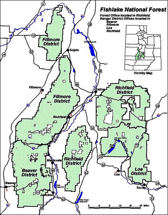
Fish Lake is the largest natural body of fresh mountain water in Utah. Fishlake National Forest surrounds Fish Lake and extends through the nearby mountain ranges to encompass some 1,500,000 acres in central Utah. To a lot of people, Fishlake National Forest is the real gem of the US Forest Service properties.
Fishlake National Forest straddles the line between two geologic regions: the Colorado Plateau and the Basin & Range Province. Large portions of the forest area are also volcanic in origin. This makes for a significant variety of landscapes on the forest.
Most folks who visit Fishlake National Forest head straight for Fish Lake Basin to enjoy a spot in one of the six developed campgrounds around the lake. There's also the opportunity to rent one of the cabins available at any of the three private resorts around the lake. One of the biggest draws to Fish Lake itself is the size of the Mackinaws (lake trout): some reach more than 50 pounds. Fish Lake also offers tiger muskie, rainbow trout, yellow perch and splake for us mortals...
Another sight/site folks seem to like is 75-foot high Bullion Waterfalls (pictured at left). The waterfalls are fed year-round by snowmelt from high in the upper reaches of Bullion Canyon. Access to the falls is by foot or horseback only: it's about one mile in from Pine Creek Bridge.
Bullion Canyon got its name from the flecks of found gold that turned into a torrent of gold seekers beginning in 1865. They found some veins of gold in the canyon walls and the gold rush was on. Some entrepreneurs built a toll road into the canyon in 1869, figuring they could get rich by charging miners for use of the road. The miners retaliated by building another road, easier to navigate than the first and free for all. Today, there's a "Canyon of Gold Driving Tour" that closely follows the route of that second road for about 2.5 miles. The route is rough but passable for most 2WD vehicles and it visits or gives easy access to many historic sites in one of the premier gold-mining districts in the American West. Be careful, though, some of the mining claims are still active and still being worked.

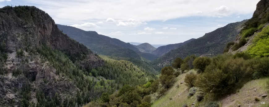
Beaver Canyon

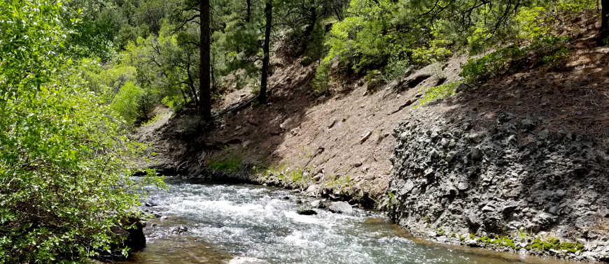
A typical stream in the Forest


A group site at City Creek Campground

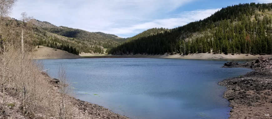
High in the Pahvant Mountains in the spring
Other photos courtesy of TheArmchairExplorer, CCA-by-SA 4.0 License