Hell Hole Bay Wilderness

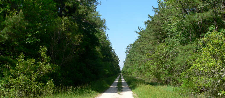
Hell Hole Road, Hell Hole Bay wilderness is on the right
Hell Hole Bay Wilderness is a 2,125-acre property located in the Hell Hole Swamp. The entire swamp was designated wilderness by Congress in 1980. In 1989, Hurricane Hugo crossed the area with 135-mile-per-hour winds and essentially every tree greater than 9 inches in diameter was blown over. The decades-old second growth forest was devastated. Trails and old roads were washed away and the wildlife suffered greatly. Since then the forest has been allowed to regrow essentially organically, restoring the natural balance that was disrupted so many years ago when the Forest Service decided to let the fire fuels build up by suppressing every fire.
Hell Hole Bay Wilderness is home to the Hell Hole Canoe Trail, a mile-long marked canoe trail across the bay, 6-12 inches deep and 6-8 feet wide in the wettest of times but generally not deep enough to float a canoe and never quite dry: at best a muddy hiking trail. There are no other trails in the wilderness area. Traveling in the wilderness is extremely hard due to poor visibility caused by the density of the undergrowth, the lack of trails or other markers, unstable ground and the presence of poisonous rattlesnakes, copperheads and water moccasins. There are also plenty of mosquitoes, chiggers and ticks to go around. Best seasons to visit: winter and spring, although summer is when the canoe trail is most usable as summer sees much of the area beneath 2 to 18 inches of standing water. Make sure you bring shoes that are comfortable when wet, industrial-strength bug repellent and plenty of fortitude. There are also very few dry areas large enough to consider camping on. There is no boat ramp in the area but canoers can access the property off Hell Hole Road.