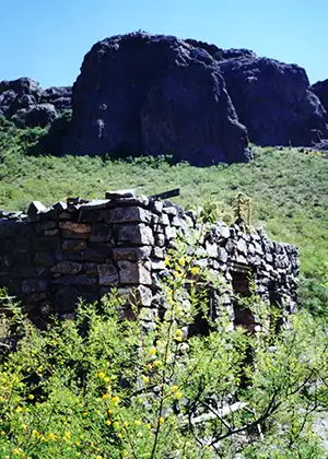
Soledad Canyon Day Use Area
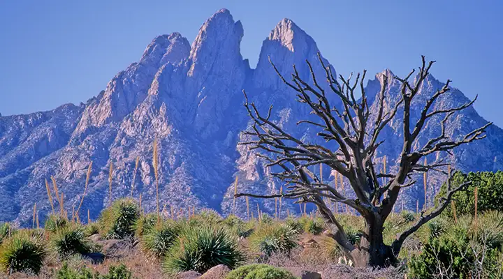
The Organ Mountains, the view from the west
In the western foothills of the Organ Mountains, the Soledad Canyon Day Use Area is at the junction of Soledad Canyon and Bar Canyon. The area offers a 3 mile hike along the Bar Canyon Loop Trail with scenic vistas of the southern Mesilla Valley and the central Organ Mountains. The trail is for hiking, mountain biking and horseback use only, no motorized vehicles allowed.
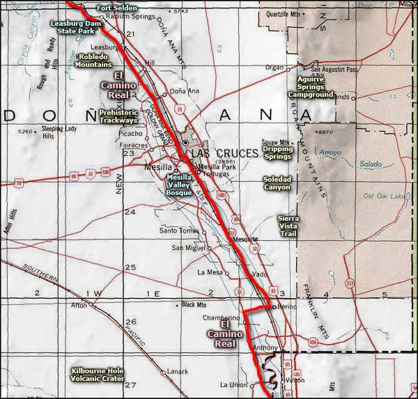
To get to the Soledad Canyon Day Use Area: Take exit 1 off of the I-25 and go east on University Avenue/Dripping Springs Road for 4.5 miles. Then turn south on Soledad Canyon Road and follow that to the end.
The property is open year round for day use only. There are no fees involved.
Maps: BLM - Las Cruces; USGS: Organ Peak
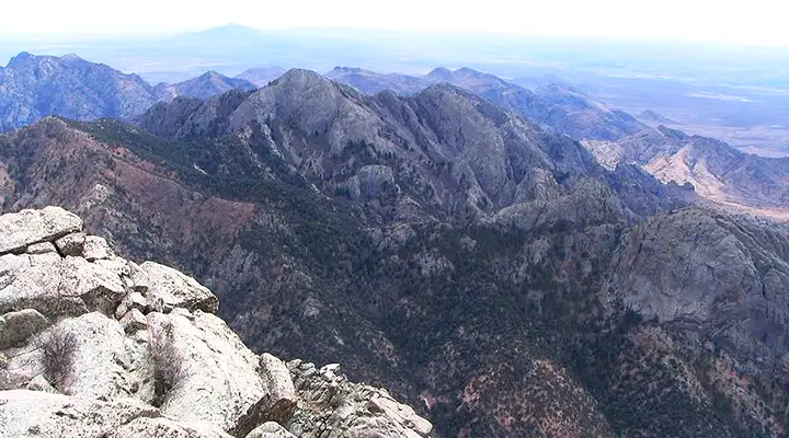
Looking south in the Organ Mountains from the top of Organ Needle (8,990')
Upper photo of the Organ Mountains courtesy of Wikipedia userid Neomexicanus
Upper left photo of the Soledad Canyon Day Use Area courtesy of the Bureau of Land Management
Lower photo of the Organ Mountains courtesy of Terry Umbenhaur, CCA-by-SA 3.0 License
Upper left photo of the Soledad Canyon Day Use Area courtesy of the Bureau of Land Management
Lower photo of the Organ Mountains courtesy of Terry Umbenhaur, CCA-by-SA 3.0 License
Related Pages
Map courtesy of National Geographic Topo!