Jemez Mountain Trail

The pre-contact pueblo of Giusewa
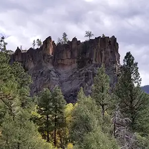
The Jemez Mountain Trail Scenic Byway is a 163-mile route that takes you into and partially around the Jemez Mountains. The Jemez Mountains are what remains of an immense volcanic dome that exploded about two million years ago after erupting for thousands of years. In the center of the mountains is Valle Grande, the remains of the collapsed caldera from that explosion. When the mountain top blew off, pieces of it rained down as far away as Ohio and Pennsylvania. Today, most of what we see are the lava flows and layers upon layers of eroded ash, breccia and volcanic tuff.
I first drove the Jemez Mountain Trail west from Bandelier National Monument. It was a beautiful section of the Santa Fe National Forest until you cleared the ridge south of Pajarito Ski Area and entered Valle Grande. Valle Grande in those days was private property. Today, the countryside is owned by the federal government and goes by the name of Valles Caldera National Preserve.
For about 12 miles the road travels across the heavily forested bottom of the ancient caldera before climbing over the western ridge and dropping to La Cueva. At La Cueva is a road junction and if you bear right, it will take you to Fenton Lake State Park. Bear left and you'll stay on the Jemez Mountain Trail and descend down the valley past Battleship Rock and Spence Hot Springs, which is where I was going on my first drive on this road. Later on, I continued the drive down through Jemez Springs, past Jemez State Monument and into San Ysidro.
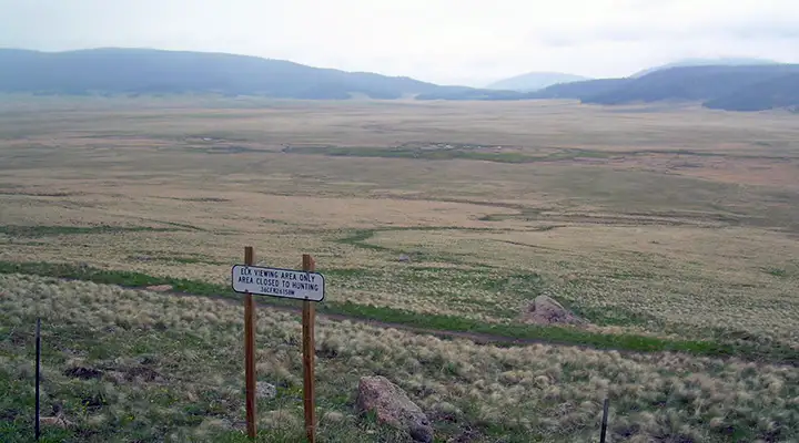
At Valles Caldera National Preserve
Just south of San Ysidro, there's a "T" intersection. Go left and you'll be heading for Bernalillo and Albuquerque. Go right and you'll continue on the Jemez Mountain Trail around the southern edge of the Jemez Mountains, between the Nacimientos and Cabezon Peak until you reach Cuba. At Cuba you'll come to the western end of New Mexico "Highway" 126, which you can take back into the forest and the mountains and eventually come back to La Cueva. However, there's a section of road west of Fenton Lake that is composed of soft volcanic ash and depending on the weather, you might wish you were driving a well-equipped, high clearance 4WD vehicle (that's why there's a gap in the road marking on the map below).
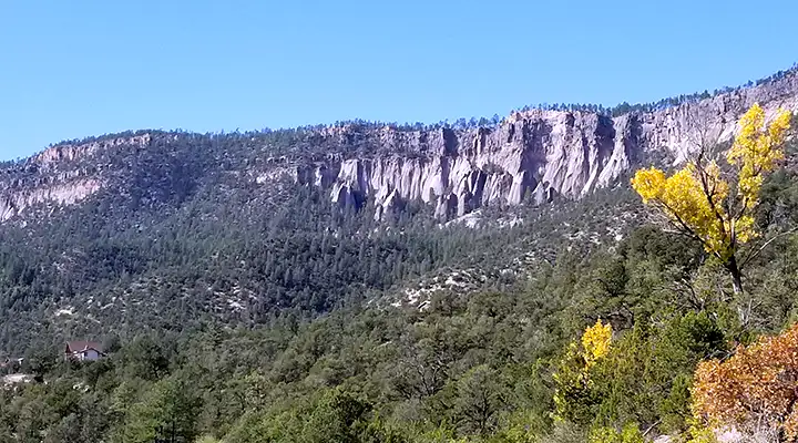
This is gorgeous countryside with wild and crazy geology. There is an area on the west side of Valles Calderas where hot water comes out of the ground at 400°F, still being superheated by the magma that blew the mountain up so many years ago. Most of the road is open year round but that zone between La Cueva and Los Alamos is sometimes closed by heavy snowfall. All through these mountains you will see incredible rock formations: volcanic materials eroded by wind, water and ice into fantastical shapes. The rock colors tend to the red, purple, pink and orange side of the spectrum. A visit to Jemez State Monument is well worth it: see a place where folks were building massive stone walls and multi-storied buildings at a time when the Pilgrims were just wading ashore in Massachusetts...
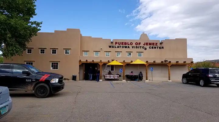
The Walatowa Visitor Center on Jemez Pueblo
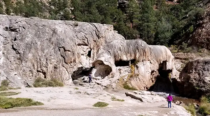
The Soda Dam on the Jemez River
Dropping into the Canon de San Diego
