Scenic, Historic and Backcountry Byways in Wyoming
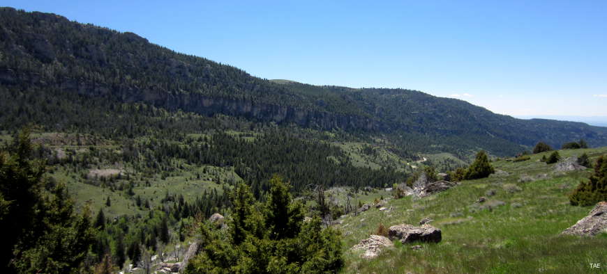
Ten Sleep Canyon, along the Cloud Peak Skyway
Scenic, Historic and Backcountry Byways

- Battle Pass Scenic Byway
- Beartooth Highway
- Bighorn Scenic Byway
- Big Spring Scenic Backway
- Black Hills Scenic Byway
- Bridger Valley Historic Byway
- Buffalo Bill Scenic Byway
- Centennial Scenic Byway
- Chief Joseph Scenic Byway
- Cloud Peak Skyway
- Flaming Gorge-Green River Basin Scenic Byway
- Medicine Wheel Passage
- Mirror Lake Scenic Byway
- Muddy Creek Historic Backway
- Oregon Trail Historic Byway
- Red Gulch/Alkali Scenic Backway
- Seminoe to Alcova Backcountry Byway
- Snowy Range Scenic Byway
- South Big Horn/Red Wall Scenic Backway
- Star Valley Scenic Byway
- Wind River Canyon Scenic Byway
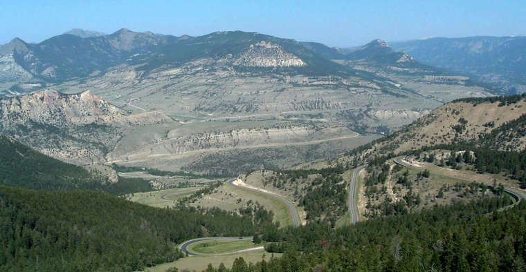
Dead Indian Overlook, Chief Joseph Scenic Byway
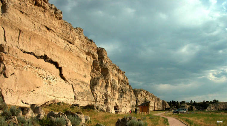
Register Cliff, a historic site along the Oregon Trail Historic Byway

Upper photo courtesy of TheArmchairExplorer, CCA-by-SA 4.0 License
Lower photo courtesy of Katie Armstrong, via Byways.org
Bottom photo courtesy of the National Park Service
Map courtesy of Cartesia MapArt US Terrain