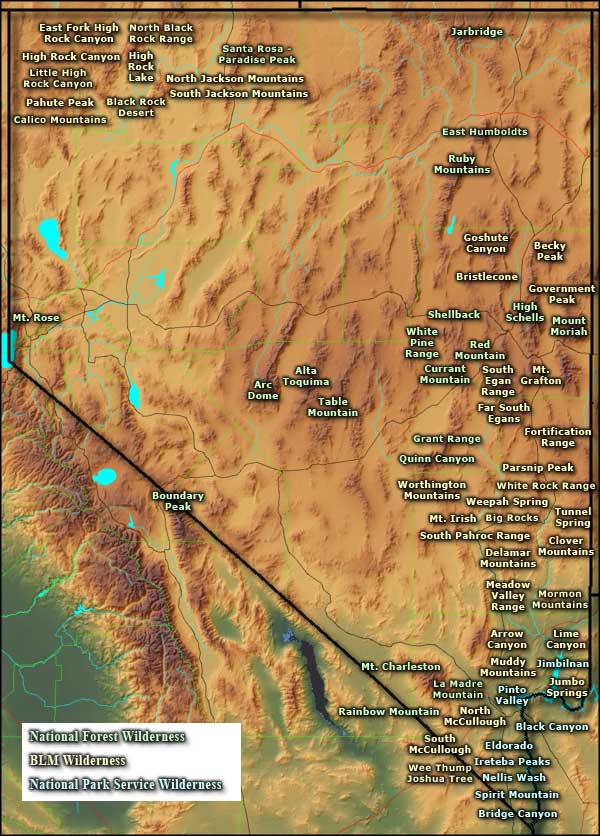
National Wilderness Areas in Nevada

National Forest Wilderness Areas

Bureau of Land Management Wilderness Areas
Arrow Canyon
Becky Peak
Big Rocks
Black Rock Desert
Bristlecone
Calico Mountains
Clover Mountains
Delamar Mountains
East Fork High Rock Canyon
Eldorado
Far South Egans
Fortification Range
Goshute Canyon
Government Peak
Becky Peak
Big Rocks
Black Rock Desert
Bristlecone
Calico Mountains
Clover Mountains
Delamar Mountains
East Fork High Rock Canyon
Eldorado
Far South Egans
Fortification Range
Goshute Canyon
Government Peak

National Park Service Wilderness Areas

Pahute Peak Wilderness
Photos are courtesy of the Bureau of Land Management, National Park Service and National Forest Service
Map courtesy of Cartesia MapArt US Terrain