Socorro Historic District Scenic Byway
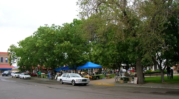
Socorro Plaza on Saturday, Farmer's Market day
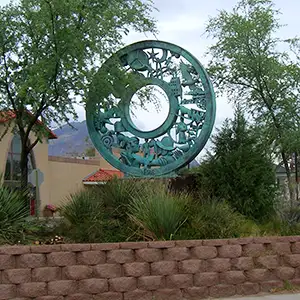
Socorro was first settled in 1598 in a location above the Rio Grande bosques but still on El Camino Real. The downtown of the old city reflects that Hispanic heritage: The center of town is a large plaza, with any "buildings of significance" built right around that old plaza. I drove in on a Saturday morning in late July and the local Farmer's Market was in full swing. There was an interesting assortment of stuff for sale...
Anyway, parts of the old town are in good shape and parts aren't. Most of the original construction around the plaza is still in use, although the Post Office is relatively new and kinda sticks out among all the Pueblo and Territorial architecture.
It looks like any new business development is taking place along the strip mall that connects exits 147 and 150 of the I-25 (the Socorro north and south exits).
New Mexico Technical Institute is located about 1 mile west of downtown Socorro, much closer to that large, high chunk of rock that defines Socorro's western horizon.
From the late 1880's to the 1920's, there was a railroad line running west from Socorro to a head end at Magdalena, 37 miles west. The railhead marked the eastern terminus of the Magdalena Livestock Driveway, a trail that ran from Springerville, Arizona to Magdalena, and carried hundreds of thousands of cattle and sheep to the eastern markets in its time.
Back in 1598, a group of Spanish settlers led by Don Juan de Oñate emerged from the Jornada del Muerto (the barren desert just south of Socorro) and were welcomed by the Piro Indians of Teypana. The Spanish renamed Teypana as Socorro, and later renamed the nearby Piro pueblo of Pilabo as Socorro, also. The first Catholic mission, Nuestra Senora de Socorro, was established here about 1626. During the Pueblo Revolt of 1680, many Spanish refugees holed up in the pueblo of Socorro before continuing further south to safety in Mexico. When the Spaniards left, many Piro Indians followed them. Without Spanish protection, the Apaches and other tribes attacked the pueblo of Socorro and destroyed it, killing any Piro Indians that had stayed behind.
The area was left untouched by the Spaniards on their return in 1692, until Governor Fernando Chacon gave the order to resettle the area in 1800. Even then, no one settled in the Socorro area until about 1815. A group of Belen residents petitioned the crown for land in the Socorro area in 1817 but that effort was interrupted by the Mexican Revolution in 1820. By 1833, the Socorro census listed more than 400 residents in the village with about 1,774 in the area. It was around that time that the mission of San Miguel de Socorro was built on top of the ruins of the old Nuestra Senora de Socorro.
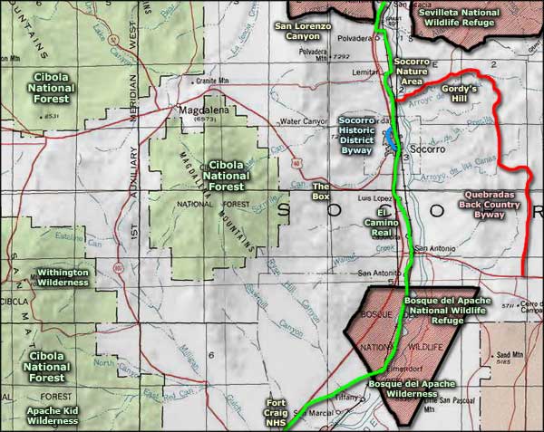
The Socorro Historic District Scenic Byway is a three-mile route that winds its way through the historical areas of old Socorro. Most of the photos on this page were taken along that route.

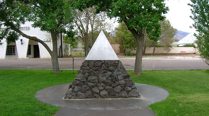
The metal cap is from "Jumbo": the steel vessel that held the world's first nuclear weapon,
exploded at the Trinity Site east of Socorro in 1945
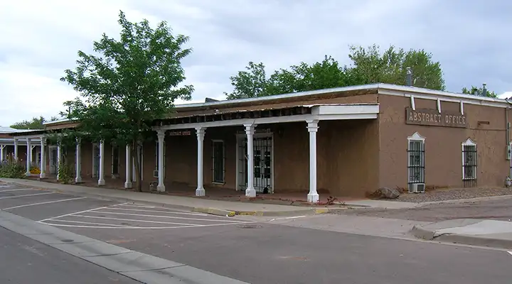
On Socorro Plaza
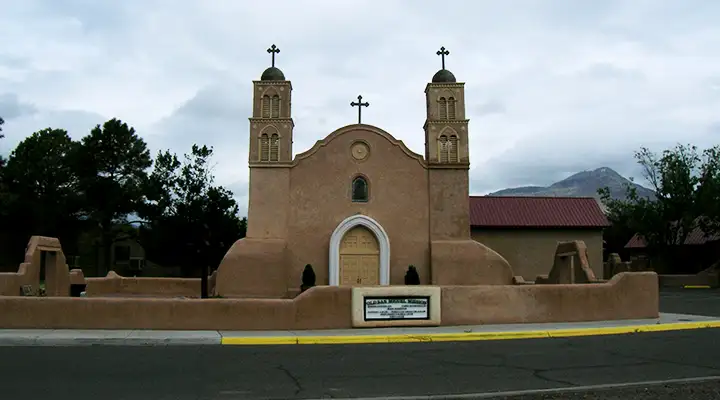
The Mission of San Miguel de Socorro
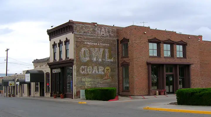
On Manzanares Street
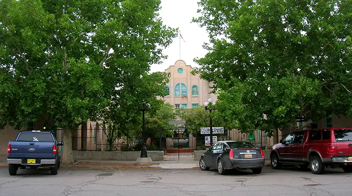
Val Verde Hotel
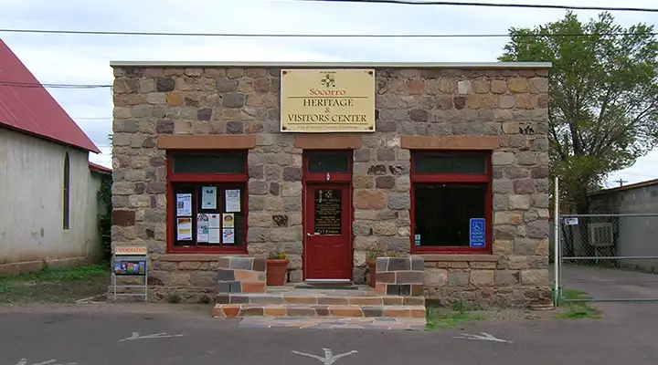
Socorro Heritage & Visitor's Center
Related Pages
Bosque del Apache National Wildlife Refuge
Cibola National Forest
El Camino Real