Gila National Forest
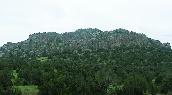
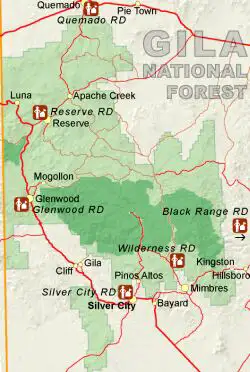
Gila National Forest is 1.5 million acres of some of the most beautiful countryside on Earth. Located in southern New Mexico, Gila National Forest is home to the Gila Wilderness, the first designated Wilderness Area on Earth. The Gila is also home to the Gila Cliff Dwellings National Monument, prehistoric stone dwellings left behind by the Mogollon people several hundred years ago. More recently this has been the homeland of Mangas Coloradas, Victorio and Geronimo.
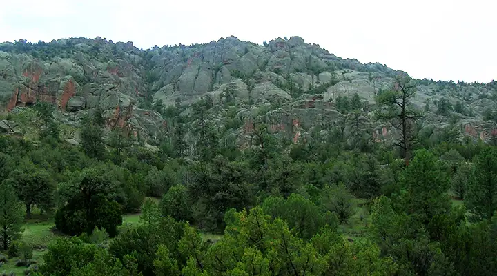
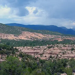
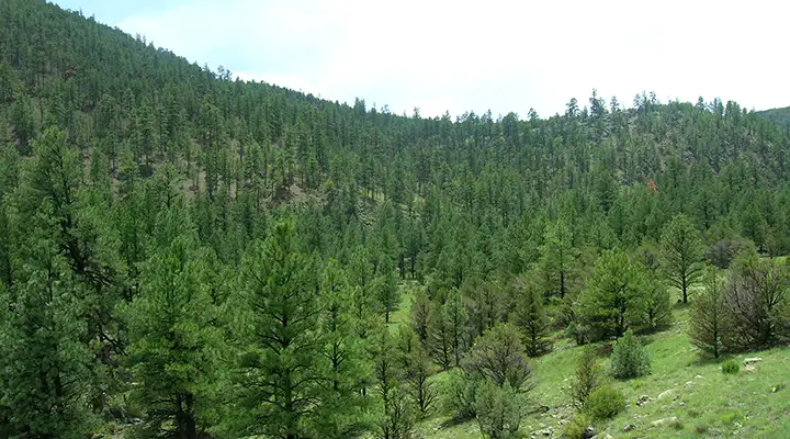
The countryside within the Forest is a mix of deep canyons between rugged mountains, heavy conifer and aspen forest with big meadows, hot springs, whitewater rivers and semi-arid desert. Elevations range from a low of about 4,200' to a high of about 10,900'. 4 of the 6 major life zones are represented here. Wildlife in the woods includes black bear, mountain lion, elk, mule deer, pronghorn, bighorn sheep, wild turkey, peregrine falcon, red-tailed hawk, and bald eagle. The Forest is relatively dry but the man-made lakes and many miles of rivers and streams allow for some good fishing: Brown and Rainbow trout, Channel and Flathead catfish, and large- and small-mouth bass. One fish to leave alone though, is the endangered Gila trout. There are recovery efforts underway that aim to restore populations of the Gila trout to their former glory.
There are several good hot springs on the Forest, however, there is an amoeba (Naegleria fowleri) that lives in the hot water that might get into your nasal passages and head straight for your brain. It causes a form of meningitis that is nearly always fatal. So keep your nose high and dry and don't dunk your head under the water. Another thing to be careful of is that some of this water comes out of the ground at more than 130°F, and needs to be allowed to cool before you get in it.
There are a couple of good whitewater rafting streams on the Gila National Forest but the window for rafting them is very narrow and depends mostly on snowfall from the previous winter. The San Francisco River is one continuous float from near Glenwood, NM, to Clifton, AZ. The Gila River is broken into the Upper, Middle and Lower float sections. The Upper Gila is a very fast run through a canyon filled with cottonwoods and sycamores. The Middle Gila can take several days, especially if you get out and hike around a bit. The Lower Gila is a slow, peaceful run but it's seldom floated because of barbed wire problems and irrigation diversions.
There are 2 designated Scenic Byways: the Geronimo Trail and the Trail of the Mountain Spirits.
The Geronimo Trail starts at San Lorenzo in the Mimbres Valley. It winds its way through the Black Range and then down into the lowlands through Kingston and Hillsboro to the Rio Grande Valley.
The Trail of the Mountain Spirits is a loop anchored in Silver City that takes you through Mimbres and Lake Roberts before crossing the Continental Divide and dropping down to the Gila Cliff Dwellings. Then it returns to Silver City via Pinos Altos.
Map of Gila National Forest courtesy of the US Forest Service