El Malpais National Conservation Area
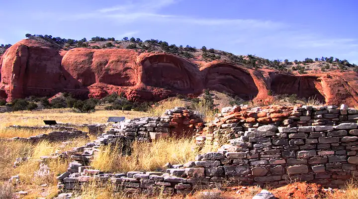
Ancient homes, red sandstone
The El Malpais National Monument and the El Malpais National Conservation Area were established by Congress in 1987. The National Monument is managed by the National Park Service while the much larger (263,000-acre) National Conservation Area is managed by the Bureau of Land Management. Both areas were designated by Congress in order to preserve and protect the geological, ecological, archaeological, scenic, cultural, scientific and wilderness resources that abound in the area of the Grants Lava Flows. Included in the El Malpais National Conservation Area are the Cebolla and West Malpais Wildernesses and the Canyons, Chain of Craters and El Malpais Wilderness Study Areas.
There are evidences of human habitation here going back more than 10,000 years. The Grants Lava Flows are surrounded by the Acoma, Zuni and Laguna Pueblos and the Ramah Navajo. These tribes still visit El Malpais to gather plant materials, pay respect to their ancestors and renew ties with each other.
As far as services go, the El Malpais National Monument allows primitive camping but you need a free permit. The National Conservation Area is developing a campground. The Narrows Picnic Area (off of NM 117) has 5 picnic tables (one is universally accessible) and 2 vault toilets. At Sandstone Bluffs Overlook there's another picnic table and vault toilet. There's a picnic table and 2 vault toilets at La Ventana Natural Arch. The Visitor Center at the National Monument has a picnic table, drinking water and restrooms. The El Malpais Ranger Station has picnic tables, drinking water and restrooms. Motorized and mechanized vehicles (including mountain bikes) are allowed on the back country roads but not in the wilderness or wilderness study areas.
While there are all kinds of unmarked trails and abandoned roads in some areas of the National Conservation Area, there are 11 primary hiking trails: the Ranger Station Nature Trail (with interpretive signs), Narrows Rim Trail, La Ventana Natural Arch Trail, Lava Falls Trail, Acoma-Zuni Trail, Cerro Americana Trail, Hole-in-the-Wall Trail, Continental Divide National Scenic Trail, Big Tubes Trail, Bat Cave Trail, and the Braided Cave Trail. Elevations at El Malpais vary from about 6,500' to more than 8,000'. This is a semi-desert area where precipitation averages 15" per year, with most of that coming in the summer monsoon season (July, August, September). Winter can see temps down to -20°F while summer can see temps in the low 100's. The vegetation is a mix of pinon-juniper and ponderosa pine. Wildflowers don't normally show much here until after monsoon season, although spring can see cactus blooms and some wildflowers. The area sees some mule deer, pronghorns and mountain lions but what you really need to be careful of is the odd rattlesnake.
To get there: Take exit 89 on the I-40 and go south on NM 117 for about 10 miles. Or, take exit 81 and go south on NM 53 for about 20 miles. El Malpais National Conservation Area is open year round and there are no fees involved. The National Park Service closes some areas at dusk. Sometimes other parts of the area are closed to the public at the request of local tribes because they are holding traditional cultural or religious events.
Maps: BLM - Zuni, Fence Lake, Grants, Acoma Pueblo
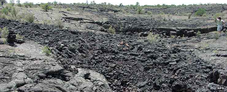
A flow of pahoehoe lava at El Malpais National Conservation Area
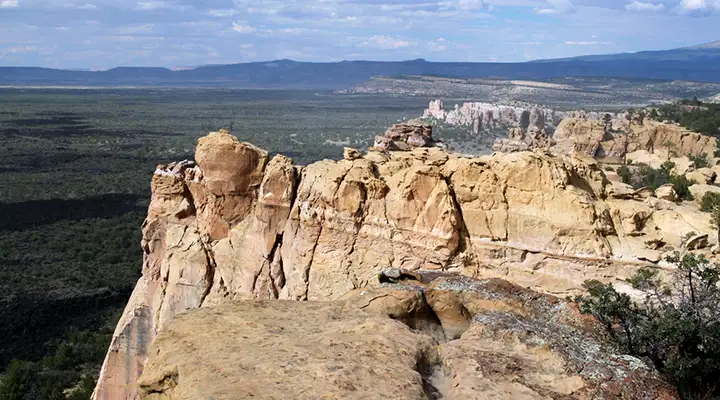
Sandstone Bluffs Overlook
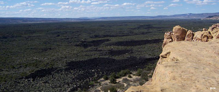
Vegetation in the lava fields
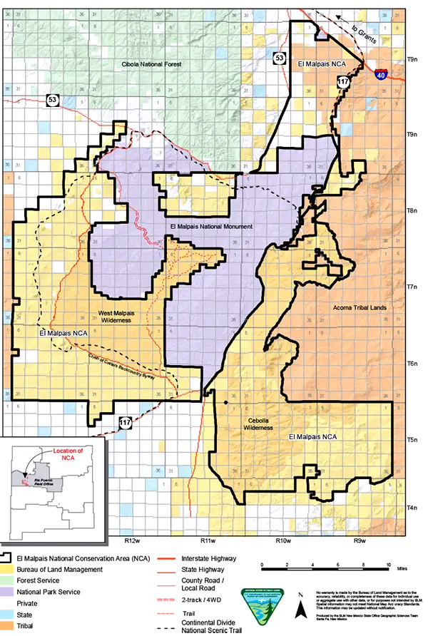
Map courtesy of the BLM
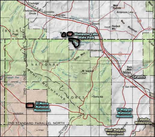
Related Pages
Cibola National Forest
Cebolla Wilderness
Chain of Craters Backcountry Byway