Big Hatchet Mountains Wilderness Study Area
Big Hatchet Mountains Wilderness Study Area
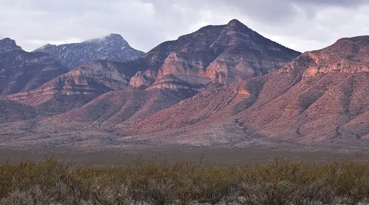
The Big Hatchet Mountains Wilderness Study Area surrounds the highest mountain peak in the bootheel of southern New Mexico. The landscape is a rolling landscape of water-eroded clay hills. This is an isolated block fault uplifted mountain range with tall stratified cliffs. The mountains are very rugged with massive limestone cliffs. Desert grasses and shrubs in the lowlands give way to juniper, piñon, mountain mahogany and scrub oak in the higher elevations. There are herds of desert bighorn sheep and significant colonies of Mexican free-tail bats in these mountains. The Continental Divide National Scenic Trail also passes through here.
There are very few marked trails in the wilderness: you'll want a good map, good hiking shoes, plenty of water (because there is none out there) and perhaps a good GPS device.
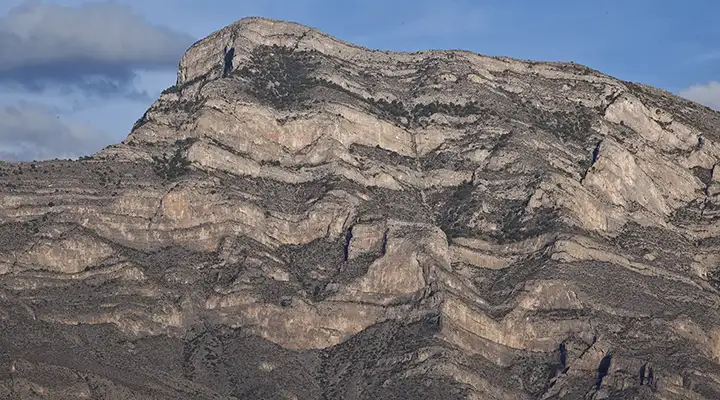
At the top of Big Hatchet Mountain
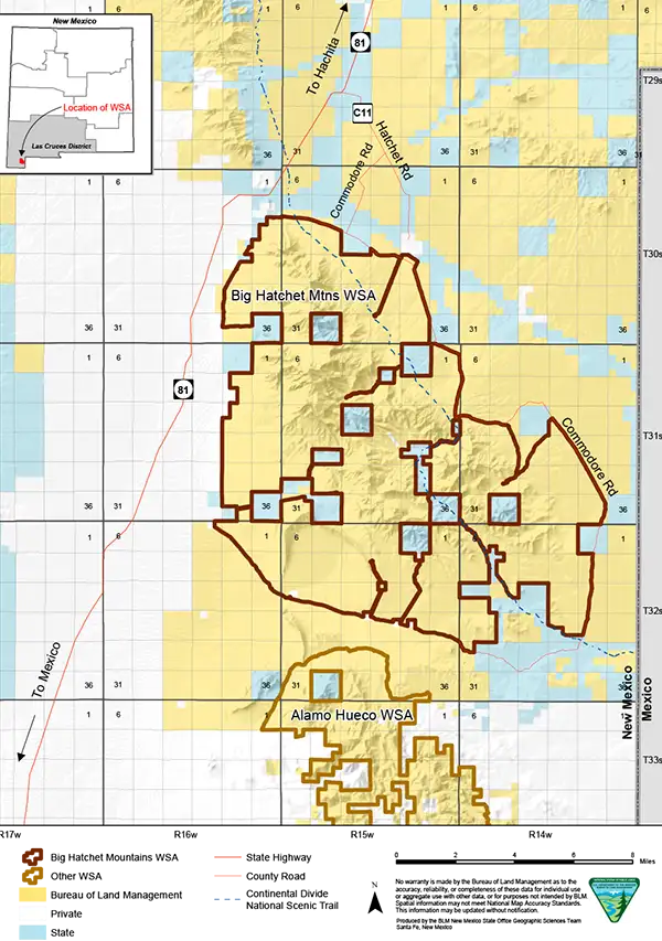
Big Hatchet Mountains Wilderness Study Area map
Photos and map are courtesy of the Bureau of Land Management