Warm Springs Wilderness

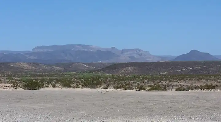
Black Mesa from the southwest corner of the wilderness area

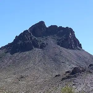
Warm Springs Wilderness is a 112,400-acre property in northwestern Arizona. The wilderness is dominated by Black Mesa, an ancient volcanic landform about ten miles long and rising as much as 1,000 feet above the surrounding desert. The edges of Black Mesa have been eroded into a maze of twisted narrow canyons. Just beyond its present perimeter are hills and islands of basalt that were once part of the whole but are left behind now because they are composed of harder materials and haven't eroded as quickly as the surroundings.
The area offers a few old jeep and burro trails from the days when prospectors swarmed over the area looking for anything of value. The countryside is very rugged. Most folks content themselves with wandering through the canyon bottoms and sand washes. Up on the hill are a few trails forged by wild burros and desert bighorn sheep (nearby Oatman is famous for the wild burros wandering the streets).
Warm Springs and a couple other spring-fed water sources are almost perennial, which can help extend hikes in the wilderness. You'll want a good map, a compass or GPS device and plenty of water and food because there are no maintained trails. Best time to visit: in the spring after a wet winter when the cacti, ocotillos and other flowering desert shrubs are in bloom. Mid-summer is not a good time to visit.
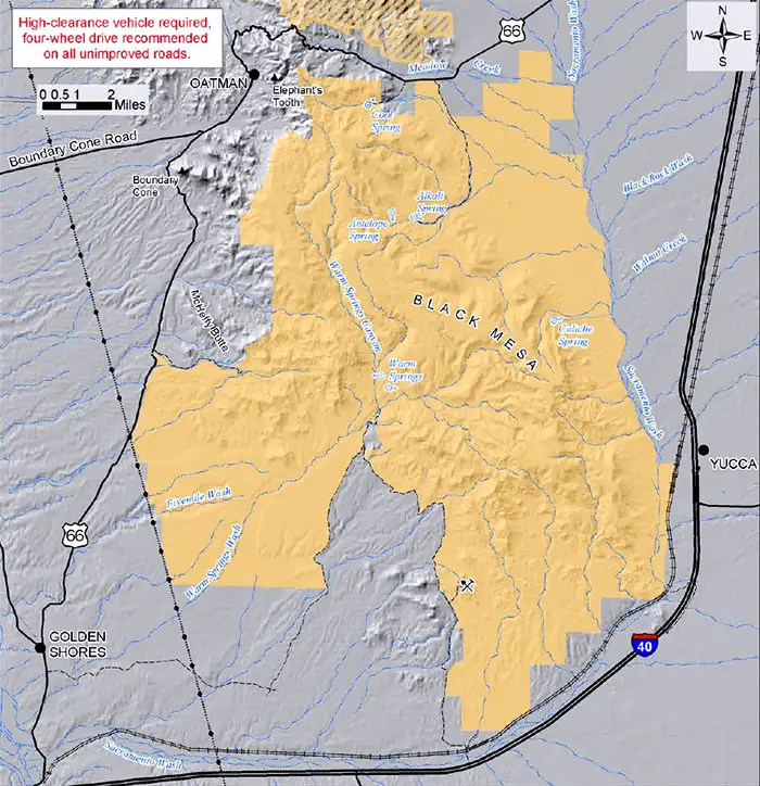
To get there: Exits 13, 20, 26 and 28 on Interstate 40 allow access to the southeast side of Warm Springs Wilderness. Access to the north side is off Route 66 at mileposts 15, 17.1, 33.8 and 34.7. The back roads all demand high clearance 4WD.
7.5-minute Topo Maps: Mount Nutt, Boundary Cone, Warm Springs SW, Warm Springs, Warm Springs SE, Yucca NW and Kingman SW

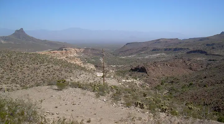
Mount Nutt Wilderness to the left, Warm Springs Wilderness to the right

Photos courtesy of TheArmchairExplorer, CCA-by-SA 4.0 License
Map of Warm Springs Wilderness courtesy of the Bureau of Land Management
