Tonto National Forest

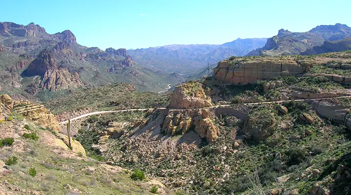
Fish Creek Grade

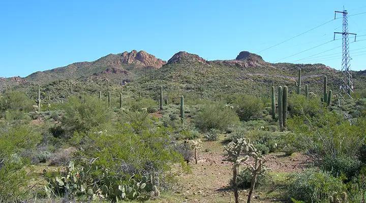
As elevations on this almost 3-million-acre property range from 1,300' to 7,900', you're going to find everything from sweltering desert cactus-strewn countryside to cool mountain pine forest here. Tonto National Forest is the 5th largest National Forest in the country and sees roughly 5.8 million visitors each year. The Forest spans the area north and south between Phoenix and the Mogollon Rim and extends eastward to the boundaries of the San Carlos and Fort Apache Indian Reservations.
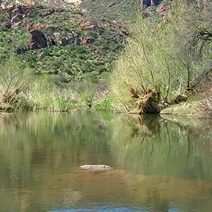
The Tonto was originally established to protect the watersheds around a couple of major reservoirs. Now there are 6 major reservoirs on the Forest storing more than 2 million acre-feet of water. The Verde River crosses the Forest from east to west and is still Arizona's only Wild and Scenic River Area. About 589,300 acres of the Tonto are contained within 7 designated wilderness areas.
Wilderness Areas
Tonto National Forest also includes 38 mineral districts with historic recorded production. The mines here produce gold, silver, copper, zinc, lead, uranium, manganese, molybdenum, asbestos and mercury. All of this has to be carefully managed because the Forest also contains habitat for 21 species of fish and wildlife that are on the state and federal Threatened and Endangered Species lists.
The Tonto is not a heavily timbered forest but about 4 million board feet per year are harvested as fuel wood, saw logs and other wood products. The Tonto is also allowed a maximum cattle grazing load of 26,000 head but long term drought conditions have required a reduction in that to about 20% for the last several years.
Critical fire season usually starts in May and lasts until the monsoon season starts to pick up around mid-July. During that critical season the Forest has averaged about 330 fires per year over the last 10 years.
Tonto National Forest is also home to many ancient ruins left by the Hohokam, Salado and Sinagua cultures, cultures that flourished here from before the time of Christ up to about 750 years ago. In this countryside you can find ancient pit houses and stone pueblos with rubble piles filled with bone and stone tools, pottery shards and other artifacts. If you find any of these things in your travels, enjoy them and then leave them where you found them: archaeologists can learn so much more about an artifact if it isn't separated from the matrix in which it was found.
Many descendants of these ancient cultures are found today among the Zuni, Hopi and Pima tribes and they still consider this countryside to be sacred as the homes of their ancestors. Often, members of these tribes return to certain places in the Forest for rituals that have been performed regularly for a thousand years now.
The Forest contains almost 900 miles of maintained trails (although the vast majority are not suitable for motorized vehicles of any type). The busiest trails are in good condition while the rest tend to be in poor to very poor condition (something about cutting taxes on the wealthy and cutting funding to everything except defense and law enforcement). You can find everything from a simple stroll on a paved trail with interpretive signage to a multi-day strenuous cross-country trek over steep grades and through heavy bush on a route that is continually disappearing... The farther you get from the cities, the fewer people you'll meet along the way. But this is Arizona and the summers tend to be quite hot: make sure you have a hat, good sunblock and lots of water with you. You'll also want a good map, a compass or GPS device, and forget the cell phone: they fail most when you need them most.
