Misty Fjords National Monument

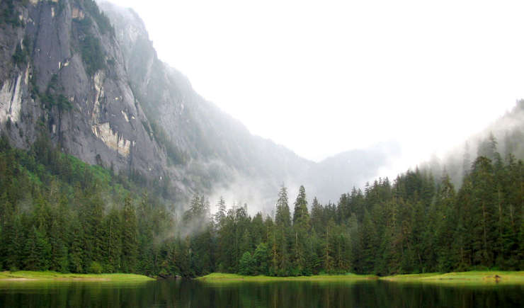
Ocean inlet at Misty Fjords National Monument

Misty Fjords National Monument is a 2,294,343-acre property in Tongass National Forest on the Alaska Panhandle. All of the National Monument has been designated wilderness except for 156,000 acres in the middle of the monument reserved for a potential molybdenum mine. 17,000 years ago this area was buried under more than a mile of ice. Then the glaciers began to melt and the retreat was on. As the landscape of Misty Fjords slowly became exposed, so too did the incredible works wrought by the ice: in many places sheer granite cliffs rise up to 2,000 feet above sea level and drop down as much as 1,000 feet below sea level.
Misty Fjords National Monument is in the temperate rainforest of the Alaska Panhandle. That means an average of 160 inches of precipitation per year in an area where a very warm day heats up to around 65°F. The humidity is such that the upper reaches of the monument always seem to be cloaked in mists. The landscape is rugged with wide, U-shaped valleys and steep slopes rising to sharp ridges formed by volcanism and shaped by the glaciers. The slopes are carpeted in a thick layer of cedar, spruce and hemlock but the valley floors are often open with numerous sphagnum peat moss muskegs. The landscape is drop-dead gorgeous and the boating looks relatively easy... until you realize the tide can rise 25 feet and more in a couple hours. Most visitors come in tour boats or in float planes. There are also those hardy souls who like to visit in their sea kayaks.

Upper left photo and map courtesy of the US Forest Service