El Morro National Monument
Inscription Rock at El Morro National Monument
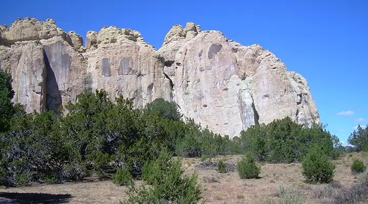
El Morro National Monument protects an area surrounding a large sandstone bluff that has been inhabited by ancient Pueblo Indians and used by many Spanish, Anglo and Native American travelers to record their visits on the sandstone walls (more than 2,000 prehistoric petroglyphs and post-Colombian inscriptions recording signatures, dates and even messages for following travelers).
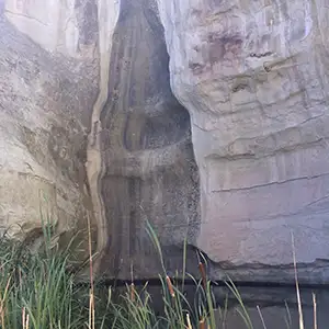
While the bluffs are spectacular, most visitors in the past came because of the waterfalls and reliable pool of water found at the foot of the rock.
Today, there is a paved 1/2 mile trail leading from the parking area to the pool. If you have more time to explore, the 2-mile trail (includes the journey to the pool and past the inscriptions) to the top of the sandstone bluffs (250 feet of elevation gain) is well worth the hike for the views alone, never mind the chance to visit the remains of Atsinna, an 850-room pueblo that was occupied by up to 1,500 people from about 1275 CE to about 1350 CE.
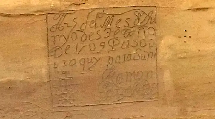
A Spanish inscription from 1709
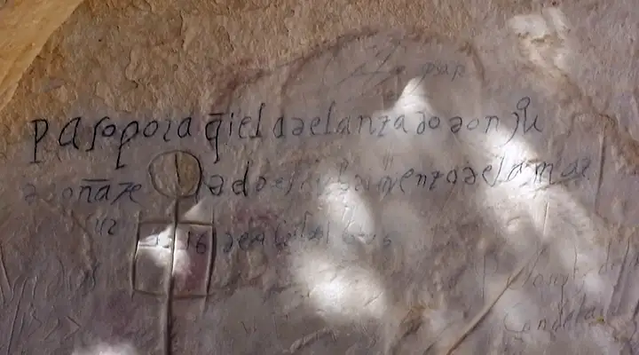
Another Spanish inscription, from 1629
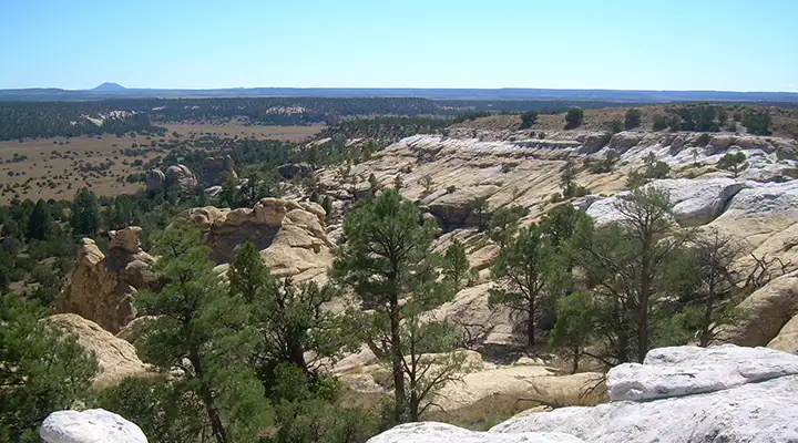
The view from the top

Looking into the box canyon from the top of the mesa
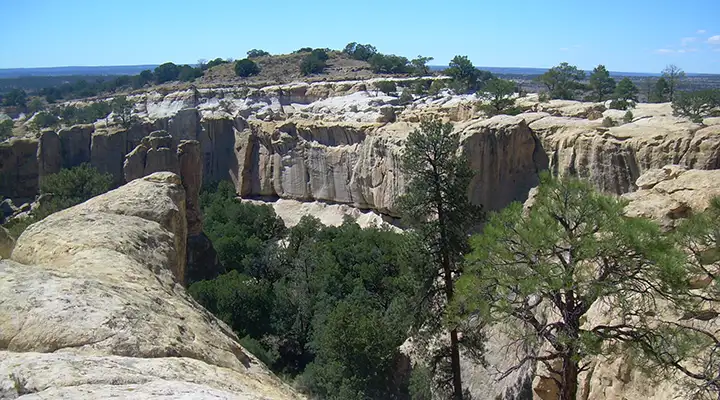
Another view into the box canyon
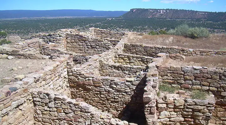
Part of what's left of Atsinna Pueblo (1275-1350 CE), on top of the El Morro rock
Photos courtesy of TheArmchairExplorer, CCA-by-SA 4.0 License
Related Pages
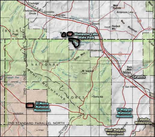
Bluewater Lake State Park
Cibola National Forest
Cebolla Wilderness
Chain of Craters Backcountry Byway
Cibola National Forest
Cebolla Wilderness
Chain of Craters Backcountry Byway
Map courtesy of National Geographic Topo!