Daniel Boone National Forest

Daniel Boone National Forest

Wilderness Areas
Daniel Boone National Forest spreads across 21 counties in southern and eastern Kentucky. The proclamation boundary contains about 2.1 million acres, of which about 708,000 acres is actually owned by the Forest Service.
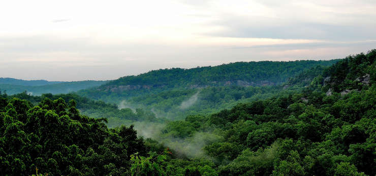
Looking out from the Great Gulf Overlook

Photos and map courtesy of the US Forest Service