Top of the World Highway
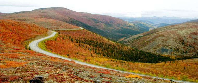
Top of the World Highway in the fall

Welcome to Alaska
The Top of the World Highway connects Jack Wade, Alaska (along the Taylor Highway) with Dawson City in the Yukon. The stretch of road in Alaska is only about 10 miles long. From the border to Dawson City is another 78 miles.
Like the upper end of the Taylor, Top of the World is gravel and dirt with steep grades, tight curves and incredible scenery. Like the Taylor, Top of the World is closed to vehicular traffic by snow from October to April.

Top of the world Highway in summer
Upper photo courtesy of Joseph N. Hall, CCA-by-SA 2.5 License
Upper left photo courtesy of Sharon Wilson, BLM
Lower photo courtesy of Michael Rissi, CCA-by-SA 3.0 License
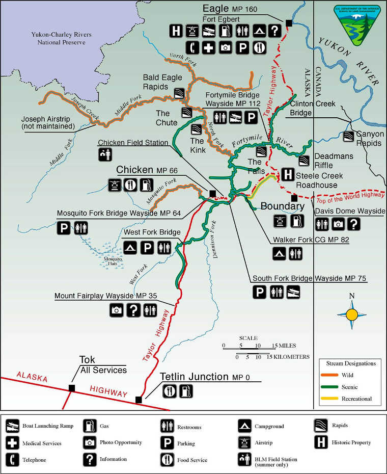
Map courtesy of the BLM
Upper left photo courtesy of Sharon Wilson, BLM
Lower photo courtesy of Michael Rissi, CCA-by-SA 3.0 License
Map courtesy of the BLM